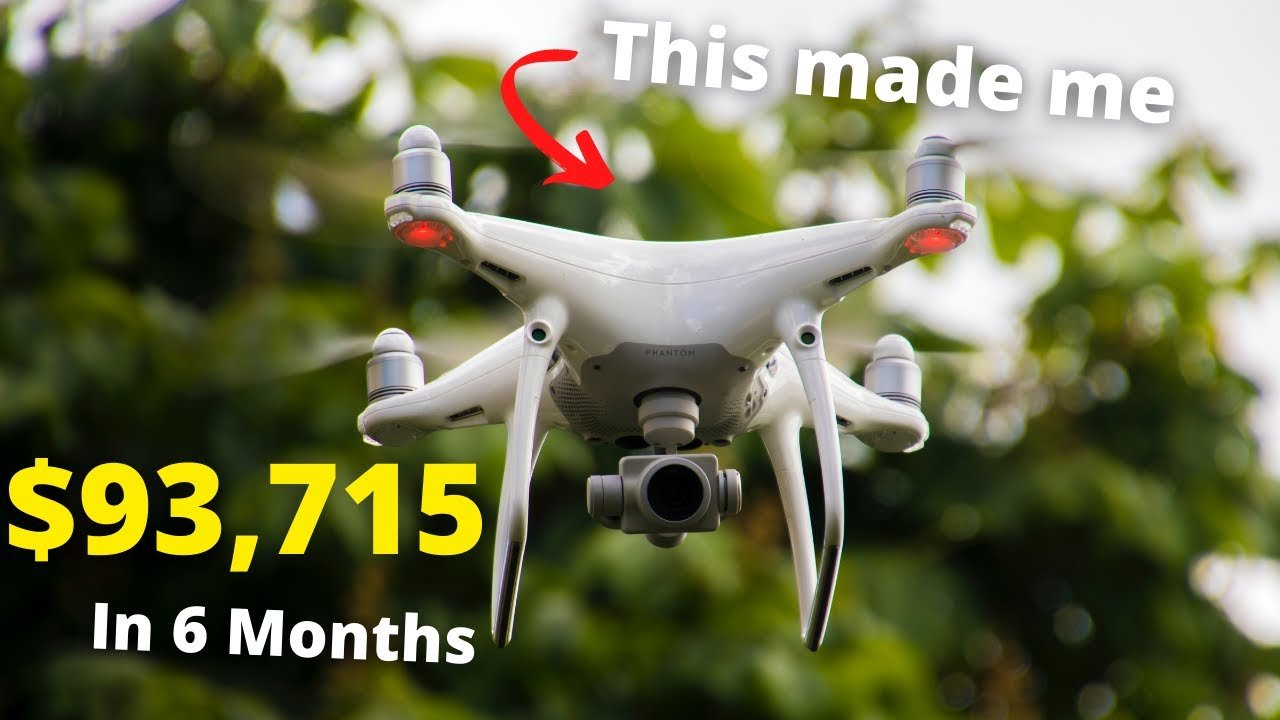
In this video by Dylan Gorman titled “I MADE $93,715 IN 6 MONTHS with my Drone – Drone Photogrammetry,” you will learn how the creator was able to make a significant amount of money using drone photogrammetry. The video provides updates and recommendations on drones for drone photogrammetry and also touches upon starting a mapping business using Drone Deploy. By utilizing photogrammetry, clients are willing to pay higher fees for services compared to traditional photography or videography. The video explains the process of photogrammetry and its benefits, such as obtaining detailed and accurate information about a property or site. Additionally, it discusses how photogrammetry can be used for inspections, insurance, progress updates, and extracting data like elevation maps and volumetric data.
1. Introduction to Drone Photogrammetry
Drone photogrammetry is a revolutionary technology that allows drone operators to capture detailed and accurate information about a property or site. It involves capturing a series of aerial photographs and then using advanced software to stitch them together to create a single, large-scale image known as an orthomosaic. This process can also be used to turn two-dimensional images into a three-dimensional space using point cloud technology.
The benefits of drone photogrammetry are vast. Firstly, it allows drone operators to charge higher fees for their services. Clients are willing to pay more for photogrammetry than they would for traditional photography or videography, as it provides them with more detailed and accurate information about a property or site. This makes it a valuable tool for real estate agents, surveyors, construction companies, and more. Additionally, drone photogrammetry is an efficient and automated process. Data collection and processing can be done quickly, saving both time and effort for the operator.
2. The Use of Drone Photogrammetry
One of the main advantages of drone photogrammetry is the ability to charge higher fees for drone services. With the detailed and accurate information that photogrammetry provides, clients are willing to pay a premium for this type of service. Whether it’s for real estate listings, construction progress updates, or site inspections, drone photogrammetry offers a level of detail that traditional photography and videography simply can’t match.
When compared to traditional methods, drone photogrammetry offers a number of benefits. With traditional photography, getting an accurate and comprehensive view of a property or site can be challenging, especially from aerial perspectives. Drone photogrammetry allows for detailed and accurate information to be obtained from each photo, making it much easier to assess and analyze. Additionally, the stitching process used in photogrammetry creates an orthomosaic, which provides a single, large-scale image of the entire property or site. This can be particularly useful for real estate agents who want to provide potential buyers with a clear and comprehensive view of a property.
3. Understanding Photogrammetry
Photogrammetry is a scientific process that involves obtaining relatable information from each photo and then stitching them together to create an orthomosaic. Each photo is analyzed for reference points, which are then used to stitch the images together. This process creates a large-scale image that accurately represents the entire property or site.
In addition to creating an orthomosaic, photogrammetry also utilizes point cloud technology to turn 2D images into a 3D space. This is done by using telemetry and sensors within the drone, such as GPS and barometers, to accurately position and plot the images onto a three-dimensional grid. This allows for a more accurate representation of the property or site, as well as the ability to extract data such as elevation maps and volumetric data.

This image is property of i.ytimg.com.
4. Software for Drone Photogrammetry
One popular software used for drone photogrammetry is Drone Deploy. This software offers a range of features that streamline the photogrammetry process. With Drone Deploy, operators can automate the capturing, uploading, and processing of photogrammetry data. This eliminates the need for manual editing and significantly reduces the time and effort required for data processing.
Drone Deploy also provides a user-friendly interface, making it easy for operators to plan and execute their flights. The software allows for the drawing of grids or areas on a map, specifying flight parameters such as altitude and overlap, and then automatically generates flight paths based on these parameters. Additionally, Drone Deploy offers a range of export options for data, including elevation maps, contours, and volumetric data.
5. Applications of Photogrammetry
Photogrammetry has a wide range of applications across various industries. One of the main uses is for inspections. Whether it’s inspecting infrastructure, buildings, or even crops, photogrammetry allows for a detailed and accurate assessment of the condition and potential issues of a given area. By capturing high-resolution images and creating detailed orthomosaics, inspectors can analyze the data and make informed decisions.
Insurance companies also benefit from the use of photogrammetry. When assessing claims or underwriting policies, having accurate and comprehensive data is vital. Photogrammetry provides insurers with detailed information about a property, allowing them to assess risk and determine appropriate coverage.
Progress updates are another common application of photogrammetry. In construction projects, for example, capturing regular orthomosaics allows project managers to track progress, identify potential delays or issues, and communicate with stakeholders. This can significantly improve project management and coordination.
Furthermore, photogrammetry can be used to extract data such as elevation maps and volumetric data. This data can be invaluable for various purposes, including land surveys, earthworks calculations, and topographic mapping.
6. Case Studies
There are numerous case studies that demonstrate the cost savings and benefits of using photogrammetry. One example is the accurate measurement of a construction site’s volume of dirt. By utilizing photogrammetry, it was found that the contractor had inaccurately estimated the volume, leading to potential cost overruns. However, by using photogrammetry, the accurate volume of dirt was determined, saving the client over $60,000.
Another case study involved the detection of inaccuracies in a construction project. By capturing regular orthomosaics, anomalies and errors in construction were identified, allowing for timely corrective actions to be taken. This not only saved the client money, but also prevented potential safety issues and delays.
These case studies highlight the value of photogrammetry in providing accurate measurements and detecting inaccuracies, ultimately leading to cost savings and improved project outcomes.
7. Efficiency of Drone Photogrammetry
Drone photogrammetry offers a high level of efficiency through quick data collection and processing. By automating the capturing and processing of data, operators can significantly reduce the time and effort required for each job. This allows for more jobs to be completed in a shorter period, maximizing profitability.
The automation aspect of drone photogrammetry is especially valuable. With software like Drone Deploy, operators can easily plan and execute flights, collect data, and process it without the need for manual editing or intervention. This automation not only saves time but also ensures consistency and accuracy in the data collected.
Overall, the efficiency of drone photogrammetry makes it an attractive option for operators looking to increase their earning potential and streamline their workflow.
8. Drones and Recommendations
When it comes to drone photogrammetry, the choice of drone is crucial. Not all drones are created equal, and different models have varying capabilities and features that are important for photogrammetry work.
For beginners or those on a budget, the DJI Mavic Air 2 is a recommended option. It offers a good balance of portability, affordability, and quality. With a 48-megapixel camera and 4K video capabilities, it can capture high-resolution images and videos for photogrammetry purposes.
For more advanced users or those with higher budgets, the DJI Phantom 4 Pro V2.0 is a popular choice. It offers a larger sensor and higher quality imagery, making it ideal for more demanding photogrammetry applications.
Ultimately, the choice of drone will depend on individual needs, budget, and the specific requirements of each project. It’s important to consider factors such as camera quality, flight time, stability, and reliability when choosing a drone for photogrammetry work.
9. Starting a Mapping Business Using Drone Deploy
For those interested in starting a mapping business using Drone Deploy, the creator of the video mentioned earlier has a dedicated video on this topic. It provides valuable guidance and advice on how to build a successful drone mapping business using Drone Deploy. This video is a valuable resource for those looking to enter the drone photogrammetry industry and capitalize on the potential for higher earnings and efficiency.
In conclusion, drone photogrammetry is a game-changer in the drone industry. By using advanced software and techniques to capture and process data, operators can provide clients with detailed and accurate information about properties and sites. This opens up numerous opportunities for higher fees and expanded services. With the right equipment, software, and knowledge, operators can take advantage of the benefits of drone photogrammetry and build a successful business in this rapidly growing field. So why wait? Start exploring the world of drone photogrammetry today and unlock its full potential.
In this video, you will learn how to make $93,715 in just 6 months using your drone for photogrammetry. By utilizing this technology, you can increase your job rates from $50-$150 to $500 or more per job. Drone photogrammetry is the ultimate way to maximize your drone’s earning potential with minimal effort.
If you’re interested in diving deeper into the world of drone photogrammetry, check out our comprehensive online course: Drone Photogrammetry Online Course.
We also recommend checking out Drone Deploy for all your mapping needs: Drone Deploy.
►UPDATE 7/19/22
Exciting news! Drone Deploy now supports the DJI Mavic Air 2s. With the Drone Deploy application and compatible iOS devices, you can now fly automated flight missions seamlessly. You can purchase the Air 2s from Amazon for just $999: DJI Mavic Air 2s.
►UPDATE 4/24/22
Here are some highly recommended drones for Drone Photogrammetry:
-
DJI Phantom 4 Pro V2.0: This is the best mapping drone currently available. Please note that the “+” version isn’t supported by mapping software. Purchase it here: DJI Phantom 4 Pro V2.0.
-
DJI Mavic 2 Pro: This is an excellent drone to start mapping with and has proven to be a reliable option. Get yours here: DJI Mavic 2 Pro.
-
DJI Air 2: This drone recently gained support and is the perfect entry-level option for Drone Photogrammetry. Plus, it’s available for under $800 with the Fly More Bundle: DJI Air 2.
►UPDATE 3/7/22
For a more detailed understanding of Drone Deploy and starting a mapping business, watch my latest video here: How to build a SUCCESSFUL Drone Mapping Business.
-\r
► Subscribe to my channel here: / dylangorman \r
Here is the camera equipment I use:
- Canon EOS R5: Canon EOS R5
- Canon 24-70 2.8L Lens: Canon 24-70 2.8L Lens
- Rode Microphone: Rode Microphone
As for the drones I use for mapping:
-
DJI Inspire 2 x5s: DJI Inspire 2 x5s + DJI Inspire 2 x5s Accessories
-
DJI Phantom 4 Pro V2.0: DJI Phantom 4 Pro V2.0
Stay connected with me online!\r
\r
Instagram: dylang_1\r
LinkedIn: Dylan G.\r
Chapters


