[ad_1]
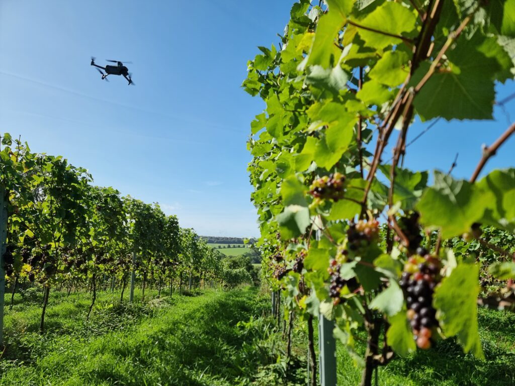
 Drone mapping of vineyards, from the individual vine to the vineyard.
by DRONELIFE Staff Writer Ian J. McNabb
Continue reading below, or listen:
While flying and alcohol don’t usually go together, new open standards supporting further data integration in the world of wine has the potential to modernize and streamline the operation of vineyards both in the UK and across the world. Defra’s Farming Innovation Programme and UKRI’s Transforming Food Production Challenge is supporting a new project: Vineyard Information System for Technology and Automation, or ‘VISTA’. This new open standard will enable high-level digital maps of commercial vineyards, supporting increased automation and precision in their agricultural operations.
Led by a consortium of industry partners spanning the world of UAVs and the world of wine, the project will start by mapping vineyards at the row and individual vine level, starting with JoJo’s Vineyard, an Oxfordshire-based winemaker. The team includes tech experts from Agri-EPI Centre, crop mapping specialists from Outfield Technologies, roboticists from Antobot, viticultural consultants from Vinescapes, and robotic mapping researchers from the University of Lincoln.
Drones, robots, and in-field sensors will be used to monitor climate and weather, plant health, soil moisture, fruit counts and fruit quality, all integrated into the “backbone” of the VISTA map. As the project continues, the data gathered will be used to drive precision spraying systems and to create more accurate yield maps for growers, two use-cases that were highlighted as especially promising. As the technology continues to mature, the consortium is excited to integrate additional applications that can be driven by the VISTA system’s data access.
Eliot Dixon, Head of Engineering at Agri-EPI Centre, said, “The agricultural industry has a strong need for increased data integration to unlock the true potential of precision agriculture across all sectors. As an industry which is inherently focussed on infrastructure, the key to getting this integration right is being able to communicate in a language-focussed infrastructure. This is what VISTA is all about as a project, creating a mapping standard for agriculture that allows robotics, drones, sensors and decision support tools to communicate, integrate their data and provide maximum benefit for farmers. Viticulture is just the start; we hope to see this basic principle being used in other sectors.”
Ian Beecher-Jones, Co-owner of JoJo’s Vineyard, said, “JoJo’s Vineyard is delighted to be the lead vineyard in the VISTA project. We have been developing precision viticultural technologies for the last couple of years and have a strong belief the project will continue the work we have achieved in the Innovate UK Viticulture 4.0 project, which highlighted the importance of establishing a robust digital infrastructure on which all other technologies can work efficiently and effectively.”
More information on this project can be found here.
Read more:
Ian McNabb is a staff writer based in Boston, MA. His interests include geopolitics, emerging technologies, environmental sustainability, and Boston College sports.
Miriam McNabb is the Editor-in-Chief of DRONELIFE and CEO of JobForDrones, a professional drone services marketplace, and a fascinated observer of the emerging drone industry and the regulatory environment for drones. Miriam has penned over 3,000 articles focused on the commercial drone space and is an international speaker and recognized figure in the industry. Miriam has a degree from the University of Chicago and over 20 years of experience in high tech sales and marketing for new technologies.
For drone industry consulting or writing, Email Miriam.
TWITTER:@spaldingbarker
Subscribe to DroneLife here.
[ad_2]

